


Leaving Caleta Notch early in the morning with new snow on the mountains
The most southern point of any continent of the world. Too bad you hardly can see it (there is a monoment on top).

Caleta Murray in Canal Pedro/Acwalisnan

Canal Pedro/Acwalisnan

Canal Pedro/Acwalisnan

Caleta Brecknock

Caleta Brecknock

Three lines and no anchor

Topping off water supplies

Caleta Brecknock
During the five days we spent in Caleta Notch waiting for a weather window the temperature was approaching zero and the abundance of rain that was pouring down on us during the period was sometimes replaced by hail and snow. The periods of gale force winds that was ruling was only interrupted by short periods of calmer weather. The frustration started to grow, especially since we recently just had spent one week waiting for good weather. And we were still exposed to the northwest opening in the Magellan Strait towards the ocean with heavy seas in a blow as a result. But the plan for the next leg was to take us around an island and a bend in the canal so we would have more sea lee. But the distance was close to 60 miles, so we needed an early start.
Monitoring the barometer
We started to monitor the barometer more closely to time a weather gap. Normally it drops before a front passage with strong northwest winds as a result. Then it starts to rise after the front with wind shifting to southwest, but still strong winds. After the barometer levels out you usually get a short period of light winds before the barometer falls when the next front approaches.
On the evening of December 2 the barometer indicated that we would get a break from the heavy winds, and it was supported by the "official" weather forecast. So we slept a bit uneasy that night since we could hear the wind dropping off during the late evening, the hollering in the rig ceased. At dawn we were up preparing for departure. We left the Caleta quite early (got up around five o'clock since the days were getting longer and longer the closer to the southern hemisphere midsummer we came and the further south we sailed).
Cold morning
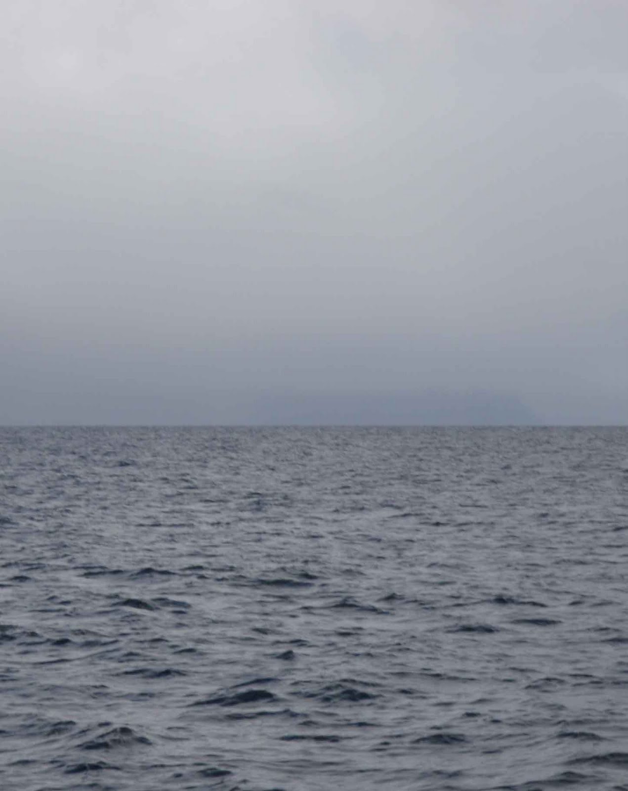
We left in in temperatures close to zero with heavy clouds occasional showers. The top part of the closest mountains and hills were now covered with snow. Soon after our departure the showers shifted to become more of a steady rainfall. The guide books talked about the beautiful scenery of this part of the canal, but all we could see was the closest shore line if we were lucky. The mountain range in the distance was all covered in dark clouds.
We arrived at our destination in Caleta Murray in the evening of December 3 wet and cold but satisfied of covering the planned distance without any mishaps. It even started to clear up so we decided to top off our tanks with diesel from the jerry cans we had on deck. Caleta Murray was chosen because it was situated in a Seno (fjord) at the beginning of one of the canals leading south from the Magellan Strait towards to open sea to make the jump to the Beagle Channel, the last stretch on our journey. The three canals going south all had different characters.
Three channels
The first one, Canal Barbara, was only supposed to be used by commercial traffic and was not permitted for yachts. The second, Canal Pedro or Acwalisnan, had a real narrow passage, Paso O'Ryan which is a hundred meters wide and only 5 meter deep. At spring tide the current could run up to eight knots through there. It was also regarded as restricted area for yachts but was popular amongst the fishing boats. However, many yachts were using this canal since the one we officially should use, Canal Magdalena, meant going more to the east only to have to double back to the west before reaching the ocean. That meant going against the prevailing winds and sea, which in windy conditions could be a hassle.
We opted for the middle canal, Pedro/Acwalisnan, and hoped to not encounter any Armada boats on the way down. Being in Caleta Murray was a good start on that trip. And we planned for the next leg to be long too, all the way around the open water section and in to the more protected canals by the island of Brecknock. But we could not leave as early as we wanted to because it was important to time the passage through Paso O'Ryan at slack water, when the current was minimal. And after counting backwards from when we wanted to pass we decided to leave Caleta Murray shortly after 10 am.
Timing the tide
After an unusually lazy morning we took off in descent weather, cloudy with showers but not that much wind. We motored through the canal and you could see the popularity with the fishing boats since we met more of them in the short passage through the canal than we had for the last two months. The surroundings were spectacular with a lot of white capped mountain tops, but the bad visibility made it not look at its best. We had calculated perfect so we passed the narrow cut with hardly any current and in front of us was some protecting islands before we were going to be exposed to the ocean for some hours.
Once we started to get out in the open the swell came rolling in reminding us of earlier blows. But the darkness of the clouds intensified and it started to rain real heavy and the wind picked up considerable. We were heading in to the wind so although we increased engine speed the building waves slowed us down. Some islands in the middle of the opening gave us temporary relief from the pounding and soon we approached the entrance of the area leading to the channel leading up to the final stretch.
Pouring down
The only problem was that we did not have good charts again and the swell was breaking heavily over rocks and islands that were hard to identify according to existing charts. But once we got closer things started to look better and soon the rolling of the boat in the swell ceased as we reached protected water. We were heading towards one of the most beautiful Caletas in Patagonia, Caleta Brecknock. The arrival could have been more pleasant since the rain was pouring down with low thick clouds. It was impressive to see alt the spontaneous waterfalls throwing themselves down the mountain sides as they were being created. But arriving there you really could see the beauty of the place and even though we were too tired and wet to enjoy it upon our arrival, we felt that this place was worth to be explored with a lay day. So after securing the land lines in the sheltered little bay in the lagoon, and getting the heater going and having a fast meal, we went to sleep looking forward to the next day.
The following day the persistent rain had stopped and it was only showers. We started to run out of water and a nice and easy accessible waterfall made us decide to bring our water jugs and refilling our supplies. So after a short dingy ride we tied the dinghy by a tree at the waterfall and climbed up to where you could reach the water. What a great way to get your water!
After filling water we went ashore for a walk on the mountain. Soon after we climbed up to the first level and took some pictures, a heavy snow/rain shower came along. We hid behind a large rock for a while but soon realized that it was more than a shower. We gave up and climbed down to the boat. Once at the boat it was not long before the sun showed itself for the first time in a long time. But soon it was gone again and back to the drizzle. But regardless the weather, the beauty of the Caleta was still impressive.
We were getting closer to the Beagle Channel but still I was going to literally take water over my head and still there were another storm, a storm that would talk the life of two sailors, coming up before the final destination. But more of that in coming entries.
No comments:
Post a Comment